Baltic States 2025

The Baltic States is more or less a region in Northern Europe. Also referred to as the Baltic nations, the Baltic States are Lithuania, Estonia, and Latvia. The reason these three European countries are referred to as the Baltic States is due to their positioning near the Baltic Sea. In fact, the countries of Lithuania, Estonia, and Latvia are the only three countries that touch the Baltic Sea directly. Norway, Sweden, and Finland dip into the Baltic Sea, but it’s more so that these three countries in particular extend into the Baltic Sea, instead of being part of the region entirely.
Technically speaking, the Baltic Sea is a marginal sea, meaning that it’s an extension of a larger body of water, if you will. Although the Baltic Sea is not considered part of the Atlantic Ocean, the Baltic Sea trickles off in its own direction, without any distinct barrier — other than an invisible border — between the end point of the Atlantic Ocean and the start of the Baltic Sea. As a result, the Baltic Sea is a marginal sea that opens freely into one of the largest oceans in the world. The countries that encompass the Baltic Sea are the reason the Baltic Sea is able to be recognized as a separate body of water.
The Baltic Sea stretches for miles upon miles. In total, there are 633,840 square miles of water within the official boundaries of this marginal sea in particular. The Baltic Sea is approximately nine hundred ninety-five miles long and one hundred twenty miles wide. The Baltic Sea has GPS coordinates of 58° N and 20° E, which means that the Baltic Sea can be found in both the northern and the eastern hemispheres.
There are many lakes and rivers located throughout the Baltic states. In fact, there are over 7,000 lakes in the region. The Baltic states are also the location of the Western Dvina and Neman Rivers. There are also swamps, marshes, and bogs located within the region.
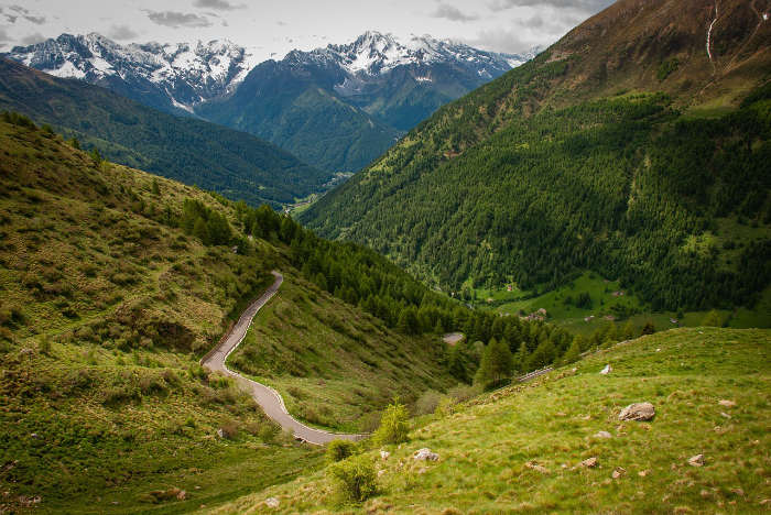
About one-third of the total area of the Baltic states is made up of forestry areas. Trees, such as conifers and birches, grow very well in the Baltic States because they are able to adapt to soil that is poorly drained. This is a reality across the board among the three Baltic States, but despite how ill-fitting that sounds, it seems to work well with the rest of the region.
The three nations that are considered Baltic states are all part of NATO, the OECD, and the Eurozone. They are also members of the European Nation. All three nations have high-income economies based on World Bank data and they all rank very high in terms of their individual Human Development Indexes.
All three Baltic countries are parliamentary democracies as well. In the country of Lithuania, a semi-presidential system is implemented as the country’s form of government, which means that the president is elected by way of the popular vote. In Estonia and Latvia, the parliament elects the president of each nation, so the people of these two Baltic States have less of a say in who ultimately rules over these nations.
Across all of the Baltic states, the shared population reaches a height of over six million people. In terms of area, the states cover a grand sum of roughly 67,000 square miles. There are no cities within the Baltic states with a population of over one million, surprisingly, but the largest city is Riga, Latvia, which has a population size of just under 700,000 people. The second largest city, Vilnius, is located in Lithuania. This city has a population of over 542,000 people. The third largest city in the region is Tallinn, Estonia, with a population of over 444,000 citizens.
Although there are only three countries that are recognized as being the Baltic States, there are nine full countries that border the Baltic Sea. These nine locations include Lithuania, Estonia, Latvia, Sweden, Denmark, Finland, Germany, Poland, and Russia, as well as bits and pieces of both the Central and the Northern European Plains.
Now, let’s talk in depth about the three Baltic States, from aspects like their population sizes and the total area of each State, to the main attractions and the lifestyle of people in each of the Baltic States.
Lithuania
The European country of Lithuania is a Baltic State that shares borders with four other countries. To the north of Lithuania lies Latvia, while Belarus encompasses Lithuania to the south and the east. The Russian territory of Kaliningrad Oblast borders Lithuania to the southwesternmost border of Lithuania as well.
Officially called the Republic of Lithuania, the Baltic State is home to over two million people. In fact, the population of Lithuania is just under three million people. Lithuania’s total area is 24,199 square miles. The size of Lithuania is rather small, but the population density is about one hundred eighteen people per square mile of land. That is a livable and decent ratio of people to mileage, despite Lithuania only comprising a little over twenty-four thousand square miles.
The capital city of Lithuania is a city called Vilnius, and the most commonly spoken language in the Baltic State is Lithuanian. The language of Latvian is pretty high up there on the list of languages that Lithuanian people speak.
When looking at the groups of people who reside in Lithuania, you are going to find that the majority of people identify as Lithuanians. Slightly more than eighty-four percent of people are Lithuanian, while the remaining sixteen percent of people in Lithuania are Polish, Russian, Belarusian, Ukrainian, and other nearby European countries.
Estonia
The Baltic State of Estonia, or the Republic of Estonia, shares borders with Sweden, Latvia, Russia, the Gulf of Finland, the Baltic Sea, and Lake Peipus. As a Northern European country, Estonia is not a straightforward, singular land mass. Instead, the Republic of Estonia is comprised of a mainland as well as thousands of smaller islands scattered about the Baltic Sea. To be specific, there are 2,222 islands that make up Estonia.
In total, Estonia takes up about 17,462 square miles of area, of which 16,366 square miles are made up of land. The remaining 1,096 square miles are water-based, involving both coastlines and water resources on the mainland. The Baltic State of Estonia is categorized as having a humid and arid aura about it, which is due to its location along the shore of the Baltic Sea.
The population of Estonia is about 1,304,254 people as of the year of 2019. With a population of over one million people, you would think that the country is a dominant place for people to live. However, as shocking as it sounds, Estonia only holds about 0.02% of the global population.
As a result, Estonia is the one hundred fifty-seventh biggest country in terms of population size. Most people in Estonia live in urban environments, like bustling metropolis areas on the mainland. The islands are not all suitable for people to live on, but there are certain Estonian islands that are habitable.
Latvia
The Republic of Latvia is a Baltic State that is physically located near Belarus, Sweden, Estonia, Lithuania, and Russia. Latvia shares its northern border with Estonia, its eastern border with Russia, its southern border with Lithuania, and its western border with the Baltic Sea. Sweden is across the way from this maritime border. Latvia is also neighbors with Belarus along its southeasternmost boundary.
Due to its location in the world, Latvia has a climate with a lot of fluctuation in temperature and weather conditions. The seasons are very clear and different, so people who live in Latvia experience true seasonal changes. For example, winter is very distinct from fall, and there is a clear change from spring to summer every year. The close proximity of Latvia to the Baltic Sea surely creates an added cold front, but it is a treasure to have wind flowing inward amid the dry heat that summer brings.


